AGH University Main Library
Atlasy
• Atlas of Republic of Poland M.1174
|
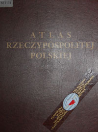 Atlas consists of 4 parts: Atlas consists of 4 parts:
Part 1. concerns basic information about Poland
Part 2 concerns information about geology, water, climate, flora, animals and environmental protection
Part 3 concerns information about people and different social issues
Part 4 population
|
|
• Atlas of hydrographical division of Poland M.3611
|
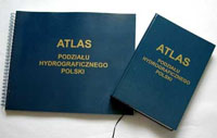 Atlas presents hydrographical net in Poland. It contains 112 maps in scale 1:200 000. The first part includes maps, the second part presents information about particular hydrographical units. Atlas presents hydrographical net in Poland. It contains 112 maps in scale 1:200 000. The first part includes maps, the second part presents information about particular hydrographical units.
|
|
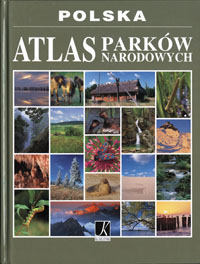
• Atlas describes Polish National Parks M.3614
|
 . .
|
|
• Atlas of climate in Poland M.3610
|
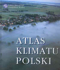 Atlas was prepared by Institute of Meteorology and Water Management on basis of statistical and meteorological analysis data from weather stations within a period of 1971 to 2000. Atlas was prepared by Institute of Meteorology and Water Management on basis of statistical and meteorological analysis data from weather stations within a period of 1971 to 2000.
|
|
•Atlas of geothermal resources in the Polish Lowelands
paleozoic formations M.3574
mesozoic formations M.3573
|
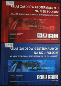 Atlases were prepared on the basis of research carried out by the Department of Fossil Fuels of AGH University of Science and Technology. Atlases provide a comprehensive source of information on the occurrence and utilization opportunities of geothermal waters and energy in the Polish Lowlands. Atlases were prepared on the basis of research carried out by the Department of Fossil Fuels of AGH University of Science and Technology. Atlases provide a comprehensive source of information on the occurrence and utilization opportunities of geothermal waters and energy in the Polish Lowlands.
|
|
Library also possesses many other geochemical, radioecological atlases, geochemical maps, geochemical atlases of agglomeration which were prepared by Polish Geological Institute.